INDIANAPOLIS — We've gone from a stormy Saturday to a steamy Sunday to finish the weekend in central Indiana.

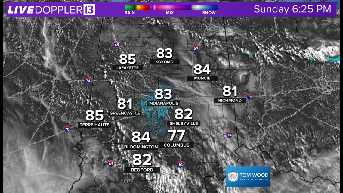

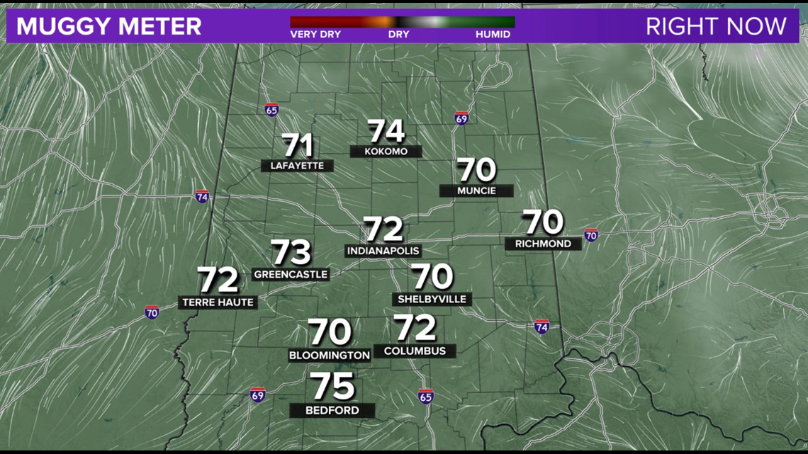
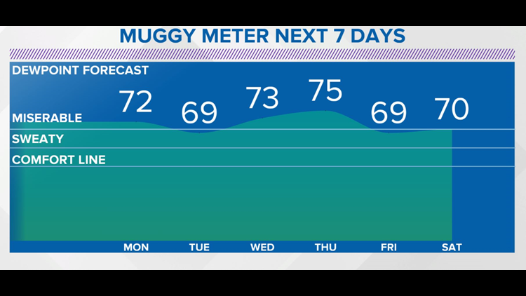
Live Doppler 13 Radar is quiet but the Muggy Meter isn't, with dewpoints over the 70° in oppressively humid air.
This is due in part from an air mass that originated over the Gulf of Mexico and soggy soils from impressive rainfall the past 24 hours.


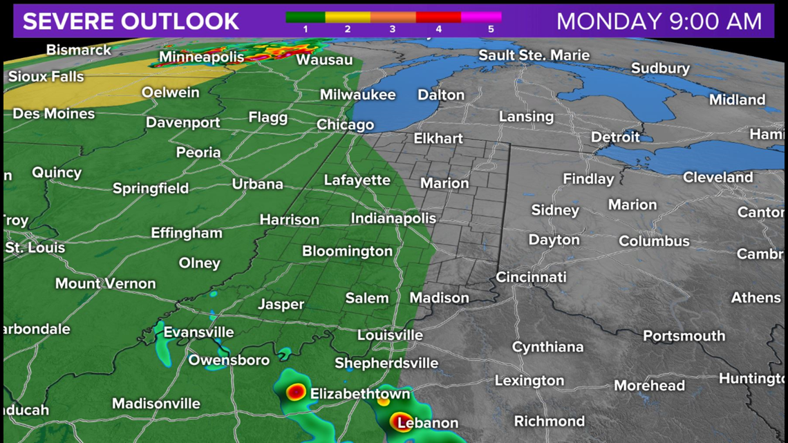
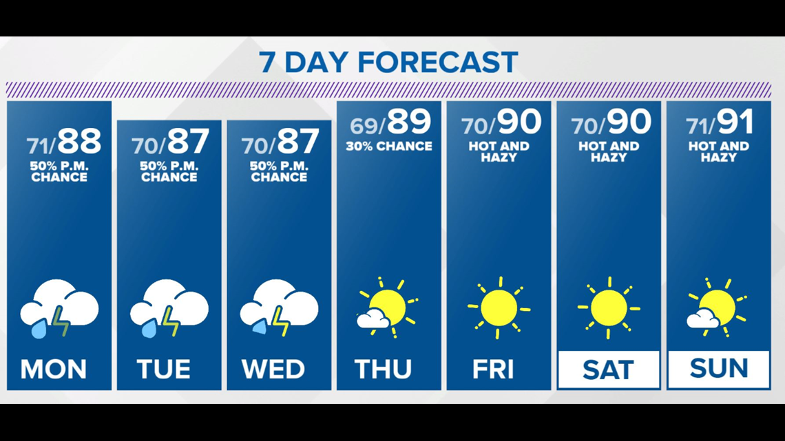
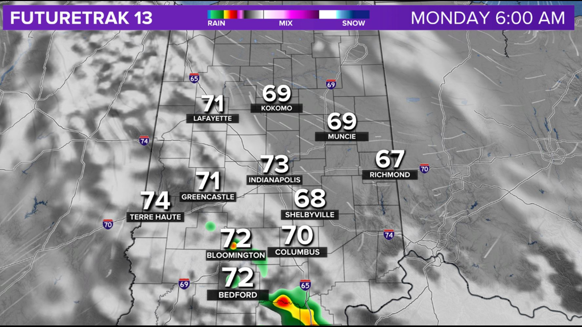
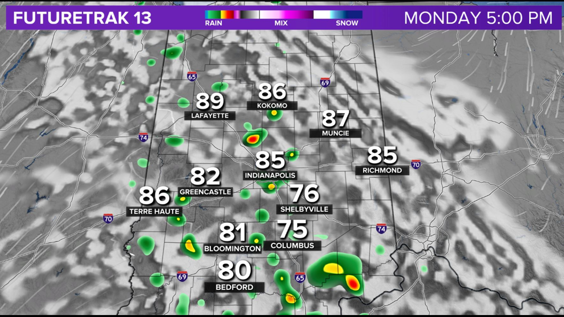
Certainly can't rule out spotty downpours or a storm this evening into Monday morning, but the main timing of scattered storms the next three days will be mainly in the late-afternoon/evening hours.


Dust/haze linger around the Ohio Valley the next several days and contribute to vivid sunrise/sunsets when/if it's not too cloudy and raining.

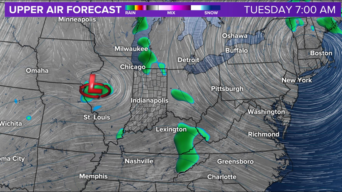

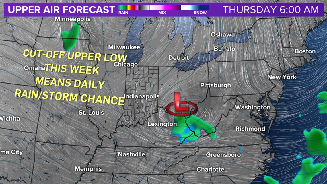
An approaching upper low gets cut-off from steering wind and meanders around the region much of this week, providing a daily chance of mainly late-afternoon/evening scattered downpours/thunderstorms.
Rain amounts in areas of heaviest storm could get an additional 2"'4"+ by next weekend.
Due to the tropical nature of the air mass, rain rates may be excessive at times and lead to local flooding.
Providing this upper low moves south of the Ohio River, as modeled at this time, then next weekend should be mainly dry but hot/humid for the 4th of July.