
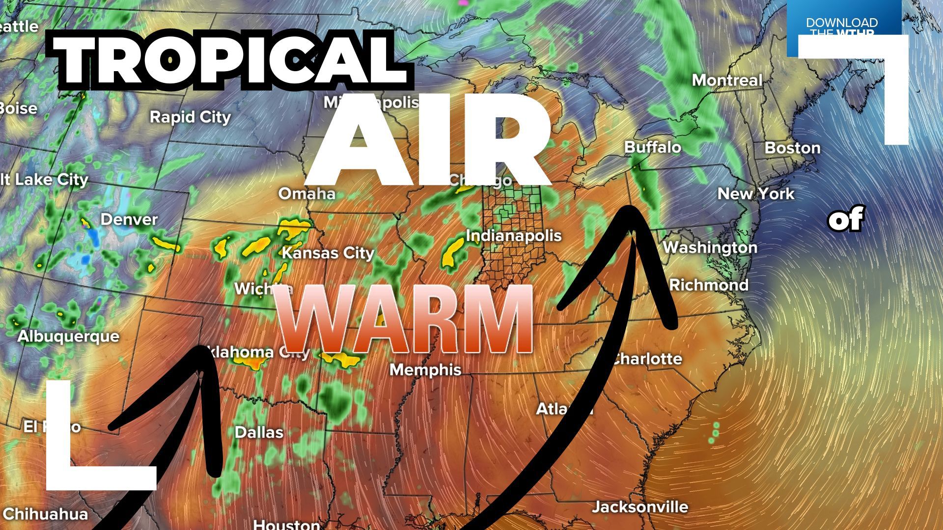
INDIANAPOLIS — Tropical air is moving into central Indiana bringing above average temperatures and occasional rain and storm chances to start the weekend.

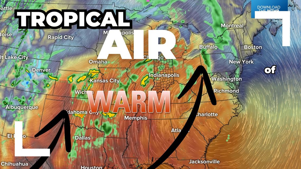
Light showers have been moving through this state this morning but we'll see plenty of dry hours today. Winds will push 30 mph at times today from the south ushering in a much warmer air mass. Temperatures recover to the upper 70s, near 80 this afternoon.


Should I cancel my outdoor plans due to the rain and storm chances today?
While we see a good amount of dry time today, occasional showers and thundershowers are possible through the afternoon. This will bring brief heavy downpours, thunder and lightning. Remember if you hear thunder in the distance, it's time to seek shelter and wait for the storm to pass.


Heading into this evening, a cluster of storms will develop between Lafayette to Kokomo and across the northwestern tier of the state. The Storm Prediction Center has placed this zone under a level 1 of 5 for the risk of a few strong to severe storms between 8 p.m. and midnight. Damaging wind gusts would be the primary threat.


TONIGHT: Staying warm and breezy with a stray shower overnight with lows in the mid 60s.
SUNDAY: Mainly dry and very warm late-April day with highs in the low 80s.


When will it rain this week?
Prepare for rain again Monday as scattered showers return in the pre-dawn hours with showers and storms likely through Monday afternoon and evening as a cold front moves through. Temperatures hold steady in the mid 70s. This round of rain exits early Tuesday with some sunshine Tuesday afternoon and temperatures recovering to the upper 70s.


Temperatures remain above average in the mid to upper 70s through next week as the pattern becomes more active with daily rain and storm chances Wednesday through Friday.

