

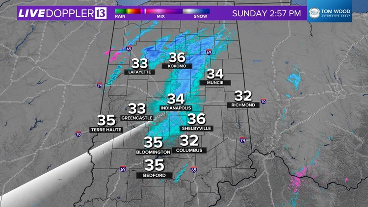
INDIANAPOLIS — Snow from this morning is melting and compacting quickly, even in areas in southern/southeastern Indiana that had higher totals of 3"+.
Thankfully, and expectedly, temperatures in the mid-30s will keep our roads mainly wet for the remainder of the day.
It's possible by the Monday morning commute some icy patches will redevelop with temperatures dropping to near 30°. This would be especially true on bridges and overpasses. But as of now, we're not anticipating widespread road issues Monday and/or Tuesday.
All eyes remain on a stronger and "juicier" storm system arriving predawn Wednesday and lingering much of the day.
Local storm impacts will be fine-tuned over the next 48 hours. But impacts to travel are very possible Wednesday with periods of heavy snow rates and low visibility.


There will be a fine line between heavy snow and heavy rain that day and it's impossible to say right now where that line will set up. However, near/north of that feature has a higher likelihood of snowfall in excess of 4"-5".
Updates to come and we encourage you to check back for updates with Winter Storm Watches/Warnings anticipated to be issued for parts of central Indiana.


