
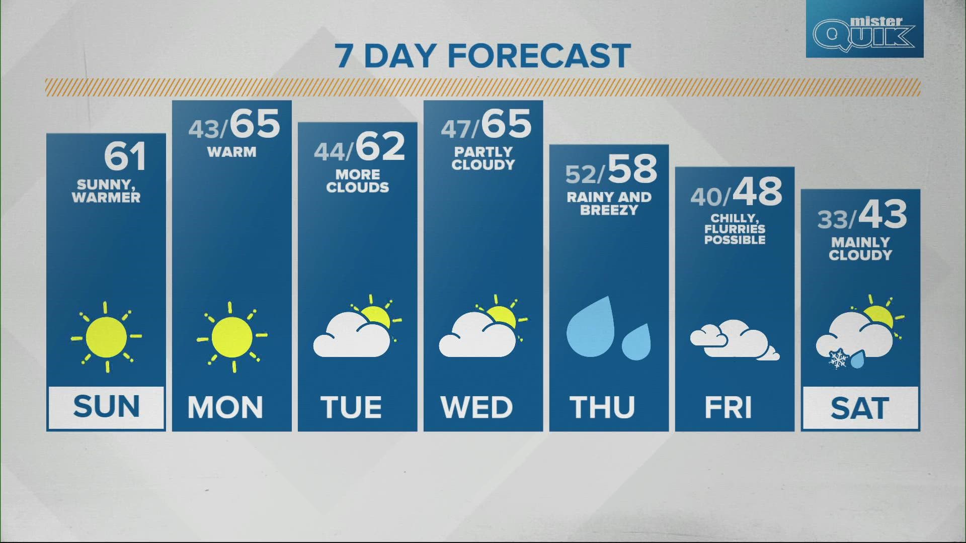
INDIANAPOLIS — Dry weather dominates Sunday and Monday with lots of sunshine and above average temperatures in the low to mid 60s.


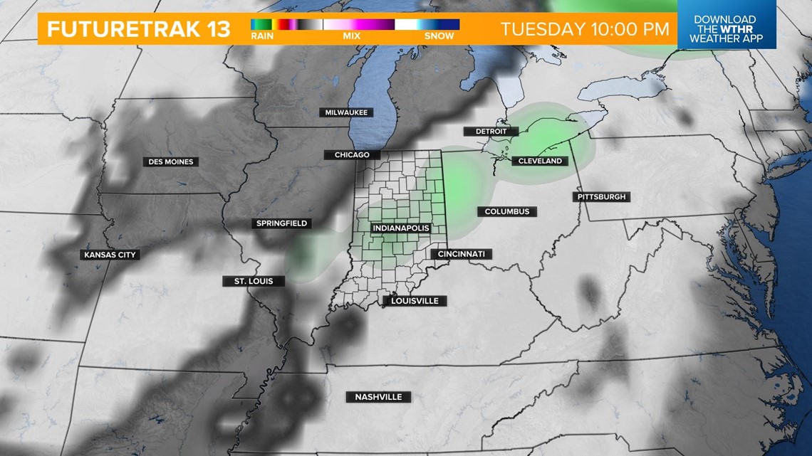
A weak frontal boundary will swing through the state Tuesday evening, which will increase cloud cover and bring a stray shower late in the day. The increased clouds will hinder temperature but highs will still be in the low 60s.

Our next weather system brings rain on Thursday morning with scattered showers likely through the afternoon.


We will still see highs in the upper 50s before the front arrives with much cooler air and takes temperatures back into the 40s on Friday to wrap-up the work week.
With lows back below freezing, any leftover moisture could translate into light frozen precipitation and flurries on Friday into next weekend.

