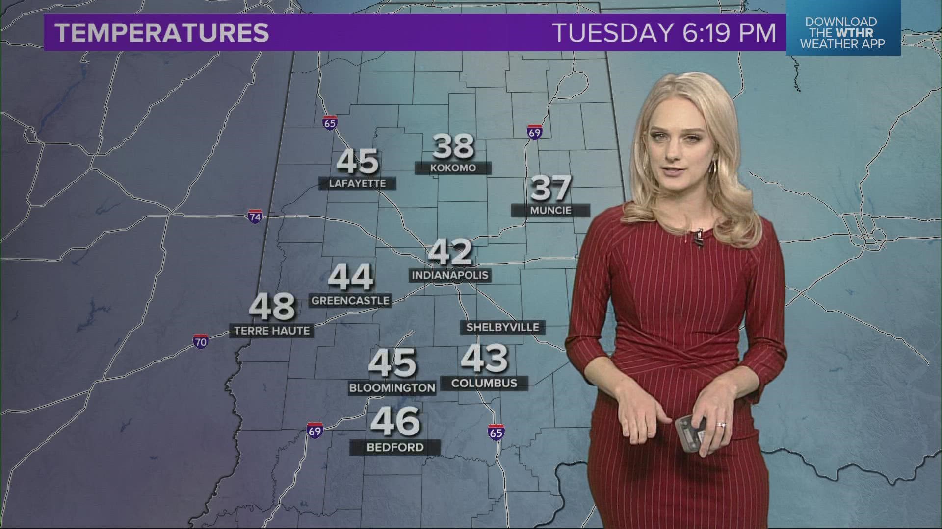
INDIANAPOLIS — Another November-like day in central Indiana with temperatures some 20° below average and many areas having their first snowfall of the season over the past 24 hours.
That cold flow continues off of Lake Michigan and is producing another round of lake effect rain/snow. Some of this will fall heavily enough to coat the ground in some locations, especially east-northeast of Indianapolis between now and sunrise Wednesday.
The bigger story will be wind chills in the teens/20s and lows dropping to near or below freezing. The latter prompted another Freeze Warning for most of central Indiana into Wednesday morning.

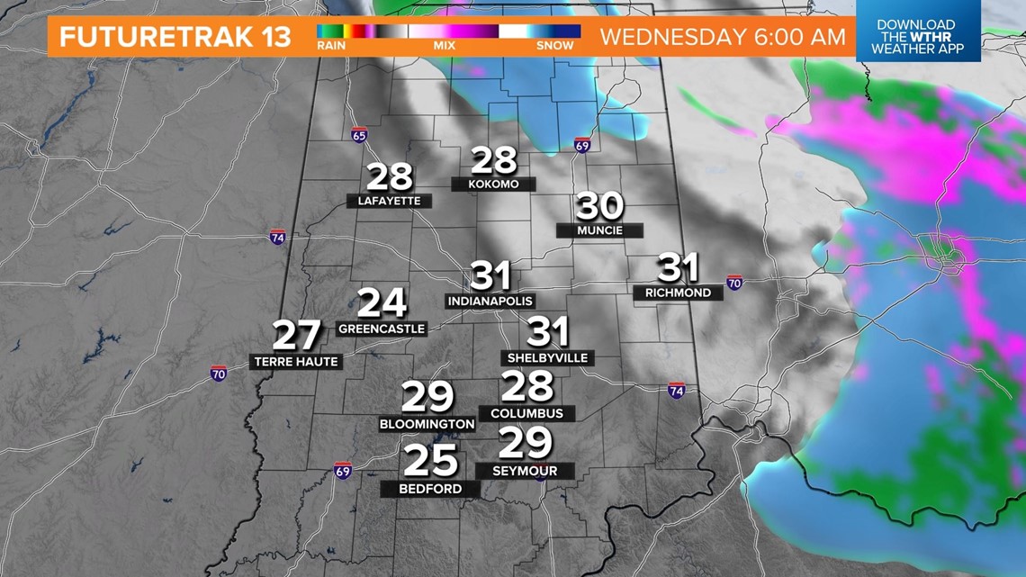
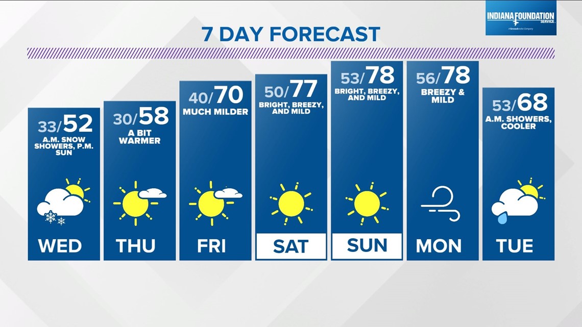
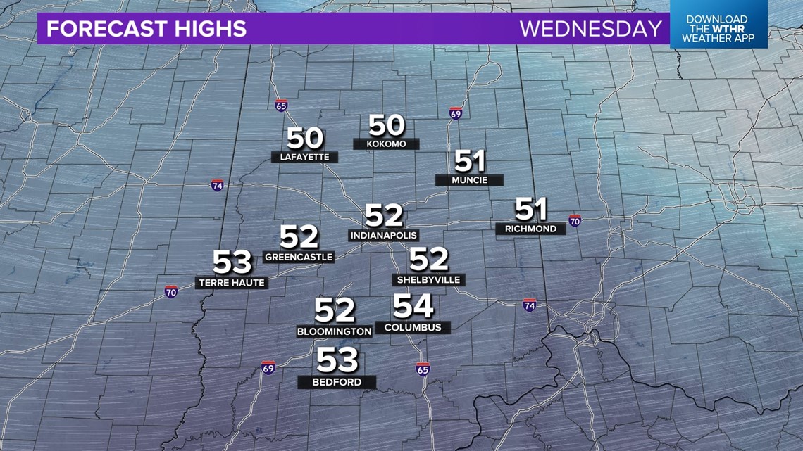
After some flurries and/or snow showers on the eastern half of Indiana Wednesday morning, expect brightening sky and warmer feel to the air as highs return to the 50s.


This is the beginning of the cold easing and a quick transition to unseasonably milder air heading into the weekend.
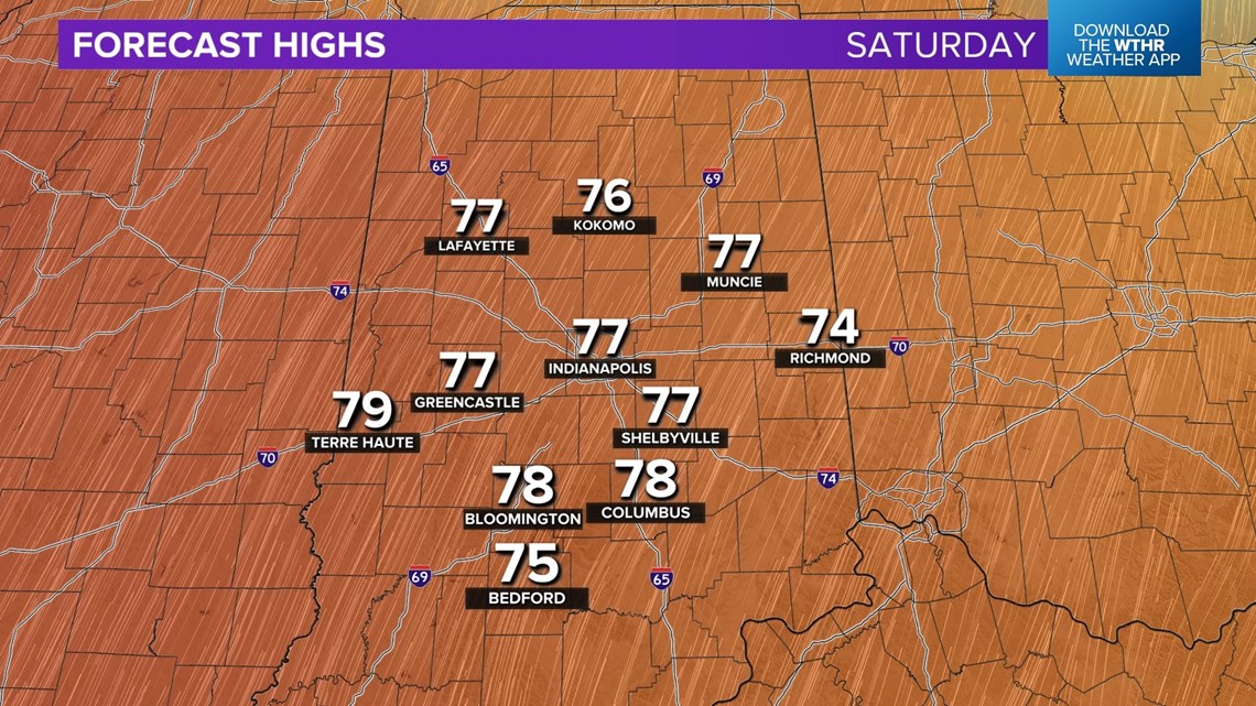
That times out nicely for Operation Football and any other weekend plans. Expect sunshine and 70s to near 80° for highs Saturday and Sunday.