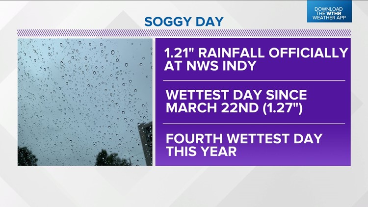
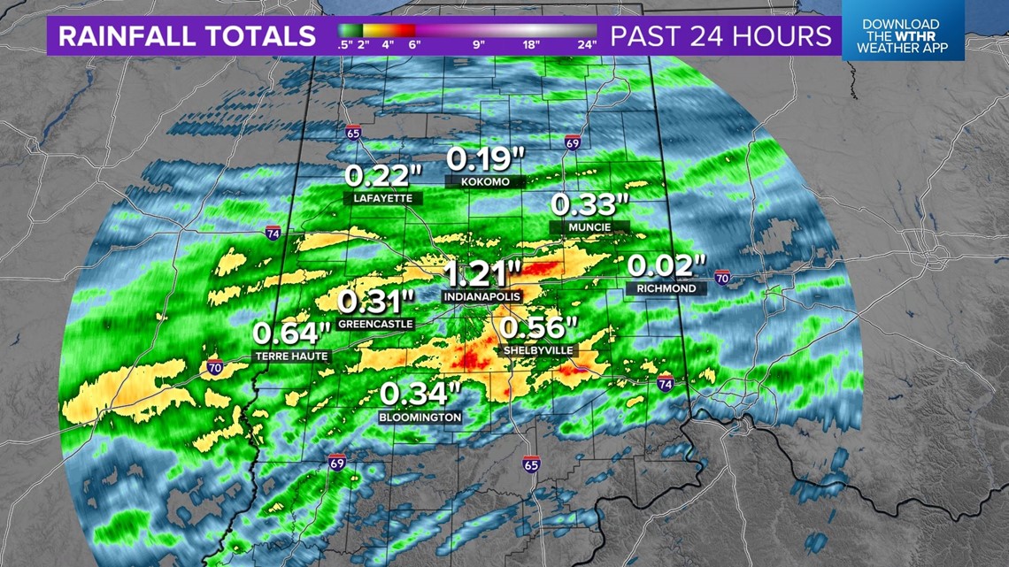
INDIANAPOLIS — It was quite a soggy day in Indianapolis and areas along the I-70/74 corridors with some areas getting 2"-5"+ over the past 24-36 hours. In fact, the 1.21" rain at the National Weather Service Indianapolis office makes it officially Indy's wettest day since March 22nd.
It's also the fourth wettest day of the year. This is definitely welcomed news, but the rain deficit in Indy since June remains over 4".
Still, this was definitely what the doctor ordered for the parched landscape around the metro area.
As expected, the rain axis has drifted south of I-70 where locally heavy rain continues from Bloomington to Columbus and points south. It will continue there periodically over the next 24 hours with only slight rain chances along/north of I-70.


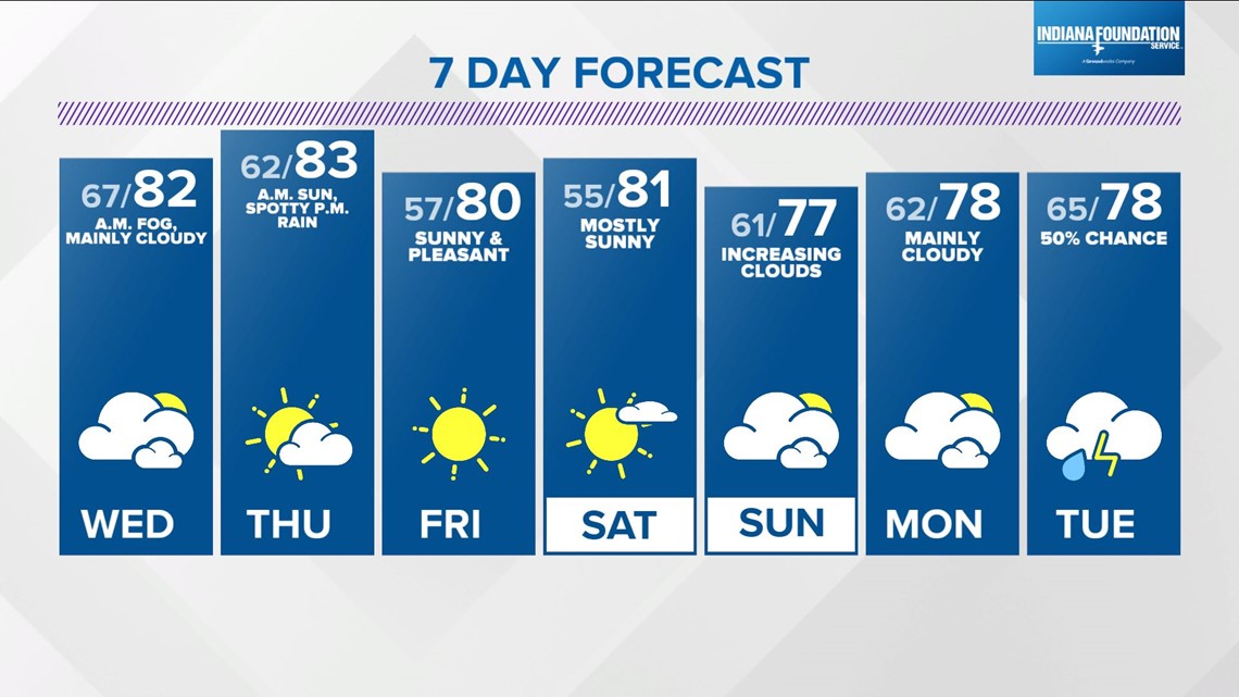
We'll be monitoring for areas of fog/mist developing overnight that may cause some slow-downs during the Wednesday morning commute. Otherwise, expect a decent day despite what could be mainly cloudy conditions at times with temperatures in the upper 70s to lower 80s.
The Muggy Meter begins dropping on Thursday with a stiffer north-northeast wind.
After a sunny start Thursday, there will be a slight chance of a late-day shower or storm as a weak disturbance races in from the north.
That disturbance ushers in even drier air just in time for Friday and the weekend, dropping dewpoints well into the 50s which is 25°-30° drier than the oppressive air we endured the past three days.
This sets the stage for giving the A/Cs a break with lows in the 50s Friday and Saturday mornings, with plenty of sunshine.
Clouds increase Sunday and dewpoints return to the 60s later in the day but the weekend is still looking very nice.