
INDIANAPOLIS — A line of strong storms pushed through central Indiana on Monday night, causing damage in several counties and sparking severe thunderstorm watches and warnings across the state.
The northern third of the state was under a severe thunderstorm watch until 8 p.m. When that watch expired, more were issued. This includes in parts of Cass and Carroll counties, where severe thunderstorm warnings were issued until 9 p.m. And in Boone, Hamilton, Hancock and Marion counties, where a flash flood warning was issued at around midnight until 3 a.m.
Follow along with live updates on tonight's storms below and keep an eye on the live radar here:
LIVE BLOG:
3:20 a.m. - Flash Flood warnings remain in effect for parts of Putnam, Parke, Clay and Vigo counties.
1 a.m. - Rain and storms will continue for the next few hours.
12:55 a.m. - A Flash Flood Warning has been issued for Boone, Hamilton, Hancock & Marion counties until 3:00 a.m.
12:30 a.m. - The second round of storms to move through Indiana have caused more power problems.
Shortly after midnight, Duke Energy is reporting more than 4,100 customers without power. More than half of those customers are in western Indiana, in or around Terre Haute, but over 1,000 customers in the Fishers area are impacted. According to a Duke Energy outage map, the outage stretches along Olio Road from 136th Street south to near 116th Street.
AES Indiana outages have also gone up, with 3,600 customers reportedly without power. That includes two incidents impacting over 900 customers each - one along Guion Road north of West 38th Street and another near West 86th Street and Lafayette Road in the Traders Point area.
10 p.m. - More than 400,000 customers across Michigan and Indiana lost power Monday, utilities reported, due to the severe thunderstorms that raked the region.
DTE Energy reported more than 231,000 customers without power, Consumers Energy reported more than 157,000 Michigan customers without service just after 7:30 p.m., Indiana Michigan Power Co. had more than 13,000 outages across the two states, and Northern Indiana Public Service Co. said about 24,000 of its customers were affected.
8:43 p.m. - Plainfield firefighters caught a view of the double rainbow between calls for service tonight.
8:30 p.m. - A severe thunderstorm watch has been issued for Benton County until 11 p.m.
8:15 p.m. - A severe thunderstorm warning has been issued for White County until 9 p.m.
8:13 p.m. - A severe thunderstorm warning was issued until 9 p.m. for northeast Carroll and southwest Cass counties. Damaging winds near 60 mph are possible.
8:10 p.m. - A double rainbow was seen over Plainfield.


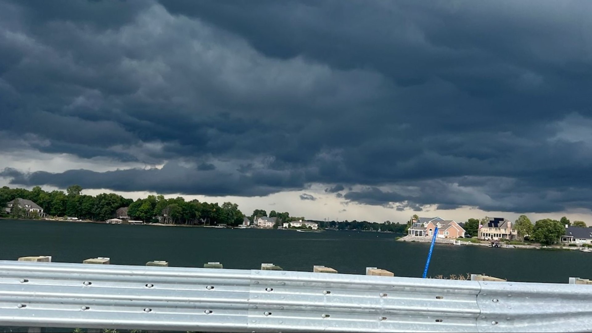
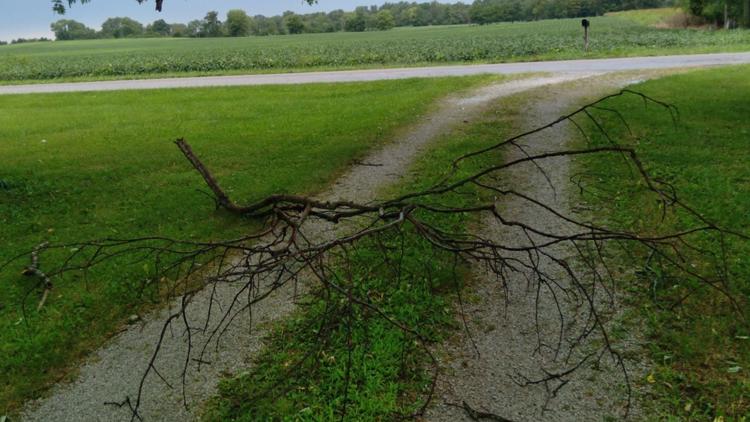
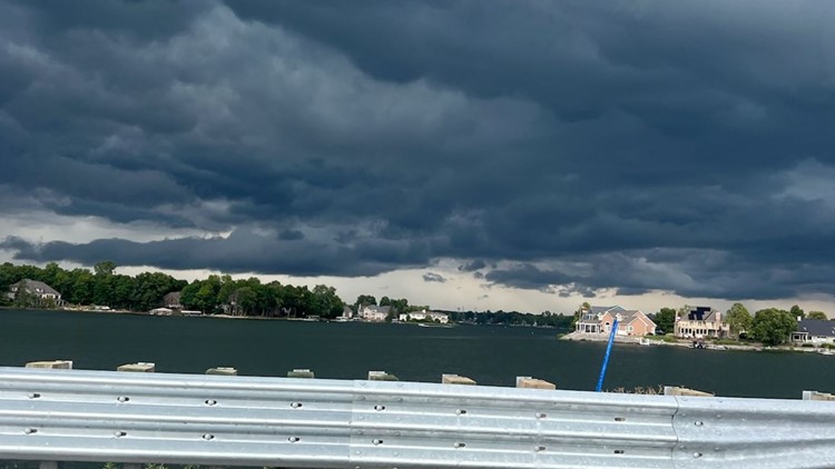
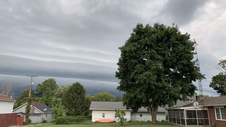
8 p.m. - Viewers shared photos of storm damage in Howard and Delaware counties.
PHOTOS: Storm damage in central Indiana on Monday, Aug. 29, 2022


7 p.m. - A line of strong storms are moving into Martinsville, Franklin, Shelbyville moving to Rushville and Richmond
6:05 p.m. - Meteorologist Chuck Lofton shared a video of storm clouds in Hendricks County.
6 p.m. weather update:
5:27 p.m. - Drivers are being told to proceed with caution in Huntington County, where there have been reports of several trees that have fallen throughout the area. First responders are working to clear the roadways.