
INDIANAPOLIS — A wet, active pattern begins today with daily rain and storm chances through Friday.
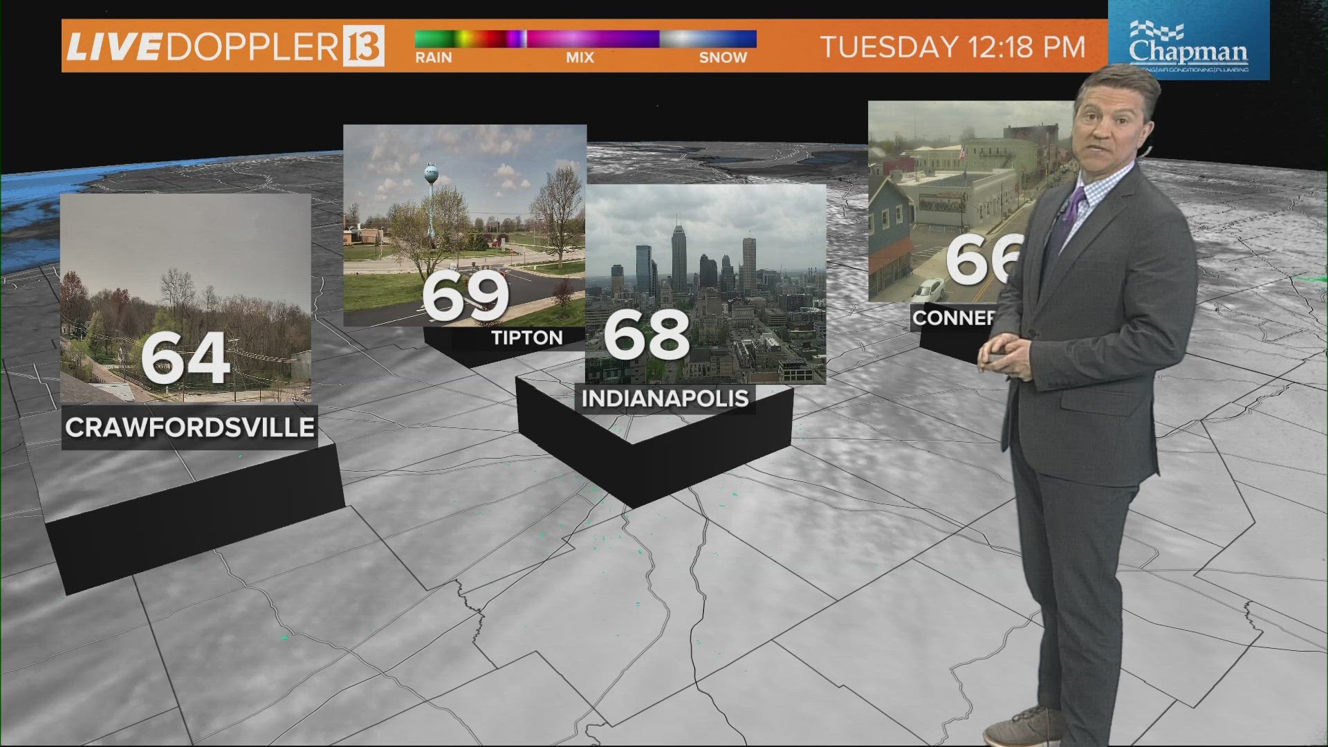
WORST RAIN CHANCE TODAY: Lots of dry time for central Indiana before 2 p.m. Those north of I-70 will likely have a mainly dry, warmer day with highs in the mid-70s.
BEST RAIN CHANCE TODAY: Rain and storms pop up across the southern half of the state mainly after 2 p.m. Severe storms are not expected, but be prepared for brief heavy rain, thunder and lightning. Temperatures will be slightly cooler in the rain-zone but still unseasonably warm.


WEDNESDAY: A mainly dry start, but widespread rain develops all throughout central Indiana around 2 p.m. Highs in the mid-60s.


HEAVIEST RAIN THREAT: Late Wednesday through Thursday afternoon as an area of low pressure tracks through the state.


FRIDAY: Rain sticks around through Friday afternoon on the backside of this weather system. Cooler air returns with steady temps in the 50s.


RAINFALL POTENTIAL THROUGH FRIDAY: All weather models agree everyone sees at least 1-2 inches of rainfall from Tuesday through Friday. Some across northern Indiana and southern Indiana will see 2-3 inches.


EXTENDED OUTLOOK: Dry and sunny Saturday with highs in the mid-60s. Not a washout Sunday, but stray showers possible with temperatures in the low 70s. Looking for above-average highs into early next week.

