

INDIANAPOLIS — An axis of rain near a slow-moving frontal boundary will continue to expand over central Indiana between now and sunset, likely placing the Indy metro area in the crosshairs of its track during the evening rush hour.
While we don't anticipate severe weather, areas of heavy rain and thunder will be likely within this zone of rain due to humid air and the lift provided by the front. There will be inconvenient weather, at minimum, this evening, and we expect many outdoor events to be canceled due to this rain.


Rain amounts vary from a .10"-.25" to locally 1"+ within any heavier pockets that emerge. Rain lingers overnight, but this line is expected to be in far eastern-southeastern Indiana by sunrise Tuesday.


Noticeably less humid air on Tuesday allows for a much brighter, better-feeling day, with seasonably warm highs in the mid/upper 70s.
May begins with Wednesday with plenty of sun and warm highs in the 80s.


There won't be much lifting mechanism around mid-week, so there's only very slight chances of something popping with daytime heating.
That all changes on Friday with the approach of another cold front that brings scattered to numerous showers and thunderstorms.

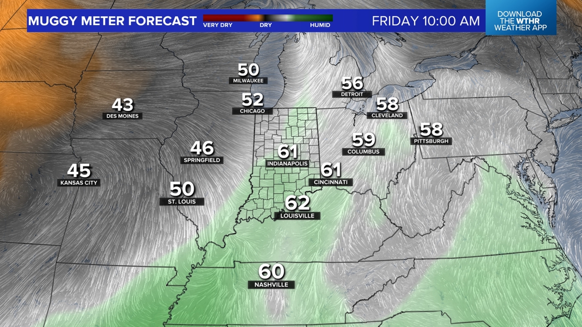


Timing can certainly change, but right now, trends are our friend. Modeling shows less humid air perfectly-timed to arrive before the running of this year's OneAmerica 500 Festival Mini-Marathon.
If nothing changes between now and then – highly unlikely – it would be pristine running air with dewpoints in the 40s and light east-northeasterly wind. Updates to come, but the early call is a for a pleasant Saturday.


