INDIANAPOLIS —
When should we be alert for severe storms?
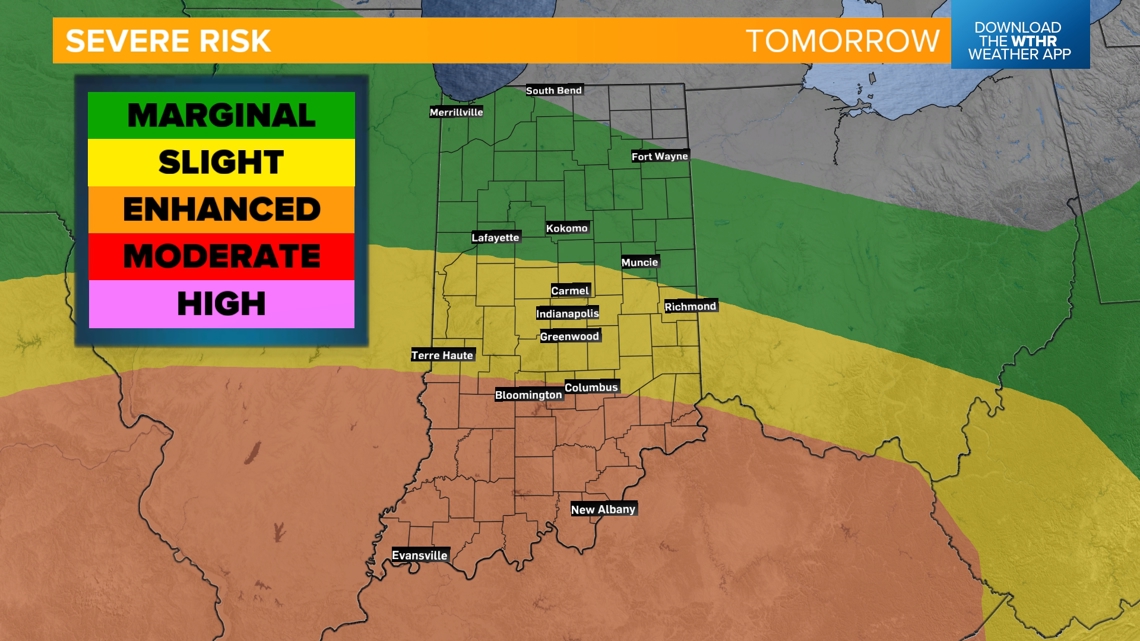
A few rounds of strong to severe storms will impact Indiana today and tomorrow. The severe risk varies with each round, though.
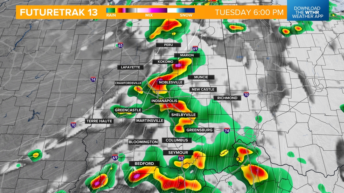
ROUND 1:
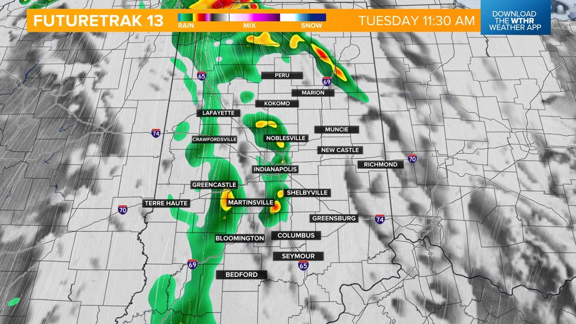
This morning, we'll have a low-end severe threat with a line of storms moving through this morning. This line has weakened and will likely stay sub-severe as it tracks across the state from west to east, exiting by 1 p.m. Strong wind gusts, brief heavy rainfall, lightning and thunder are the primary threats.

ROUND 2:
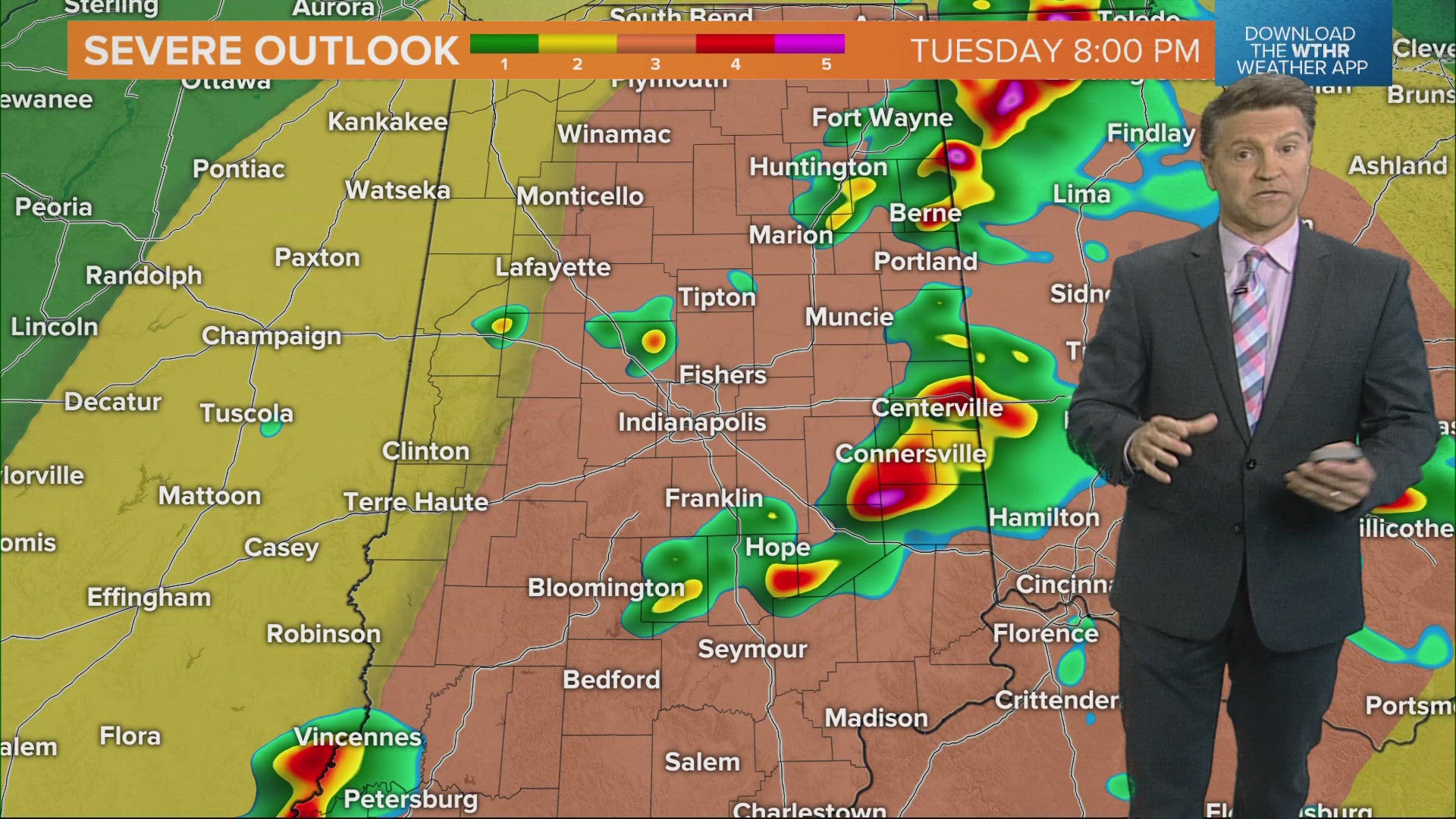
- TIMING: The better chance of severe storms will be in the afternoon, mainly after 3 p.m., with the highest risk between 5 - 11 p.m.

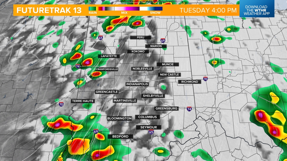


- THREATS: All modes of severe weather are possible, but the primary threats will be large hail and rotating storms prompting tornado warnings.
- THREAT LEVEL: The Storm Prediction Center has placed the entire state under a level 2 or 3 for the threat of scattered to widespread severe storms with the higher risk across the eastern half of the state.


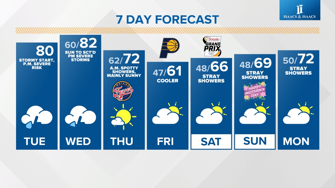
We'll get a break from stormy weather overnight and through the morning and early afternoon Wednesday. Temperatures recover to the low 80s as we sit in the warm sector of this low pressure system.


WEDNESDAY ROUND 3:
- TIMING: 3 p.m. through 10 p.m. around the metro and potentially as late as 3 a.m. for southeastern portions of the state.


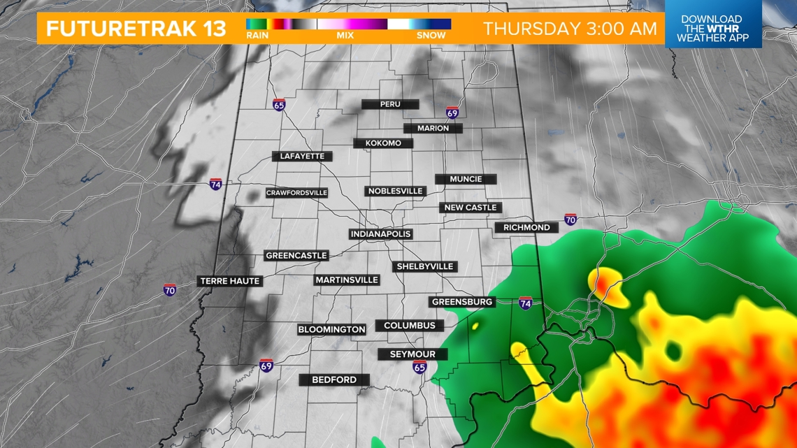
- THREATS: All modes of severe weather are possible Wednesday, but the primary threat will be damaging wind gusts, then heavy rainfall leading to localized flooding.
- THREAT LEVEL: The Storm Prediction Center is watching the southern half of the state for the higher risk of severe storms, where the environment will be more conducive for storm development.

Temperatures will be more seasonal behind the front Thursday with highs in the low 70s, with much cooler air arriving Friday with highs only in the low 60s.
Friday looks to be a mainly dry day with only a stray shower. The cooler air looks to stick around through next weekend with highs in the mid-60s Saturday with stray showers and rebounding to the upper 60s on Sunday.