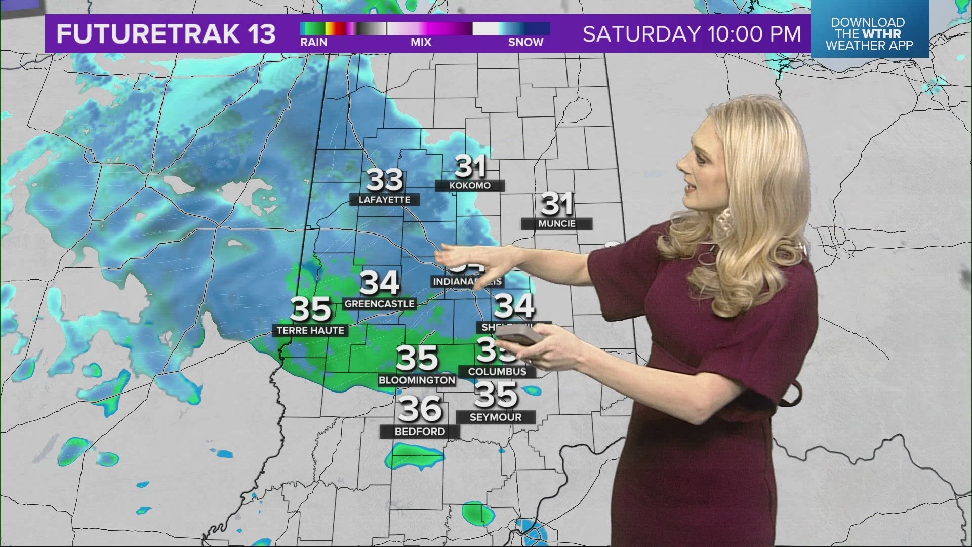
INDIANAPOLIS — A weaker storm system will move across central Indiana this evening. The drizzle will switch back to a wintry mix/snow as temperatures return to freezing. A majority of the snow is expected to wrap up by noon tomorrow, with flurries/drizzle possible during the afternoon.

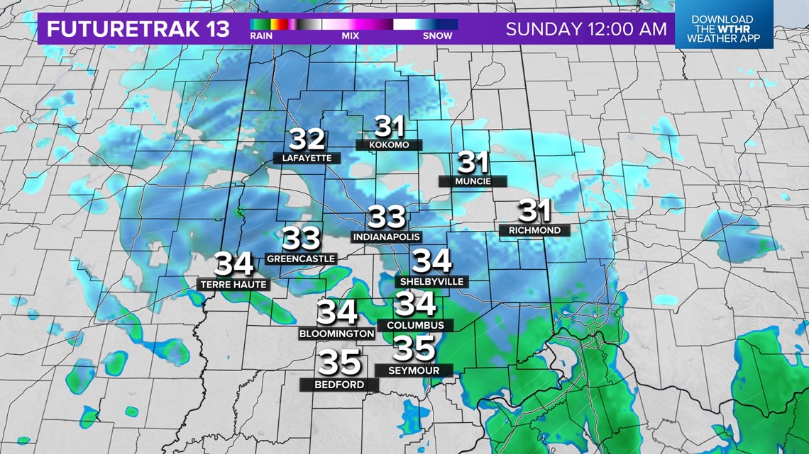
A dusting up to an inch is possible, with the greater totals mainly north of Indy. Any snow accumulation is expected to melt, with afternoon highs in the mid 30s.
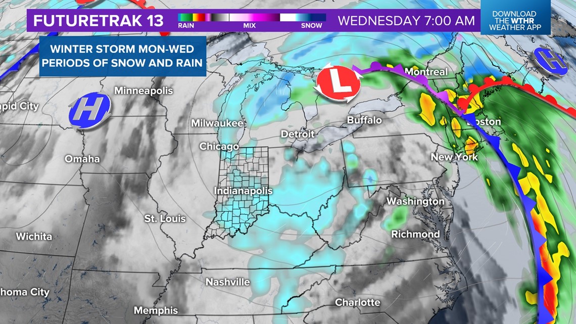
A stronger and more potent storm system will impact the first part of the upcoming week.
Winds will increase ahead of the storm throughout the day on Monday. Late Monday into the early morning hours of Tuesday a wintry mix/snow is expected to arrive. Snow accumulation is possible, the track of the system will determine how much.

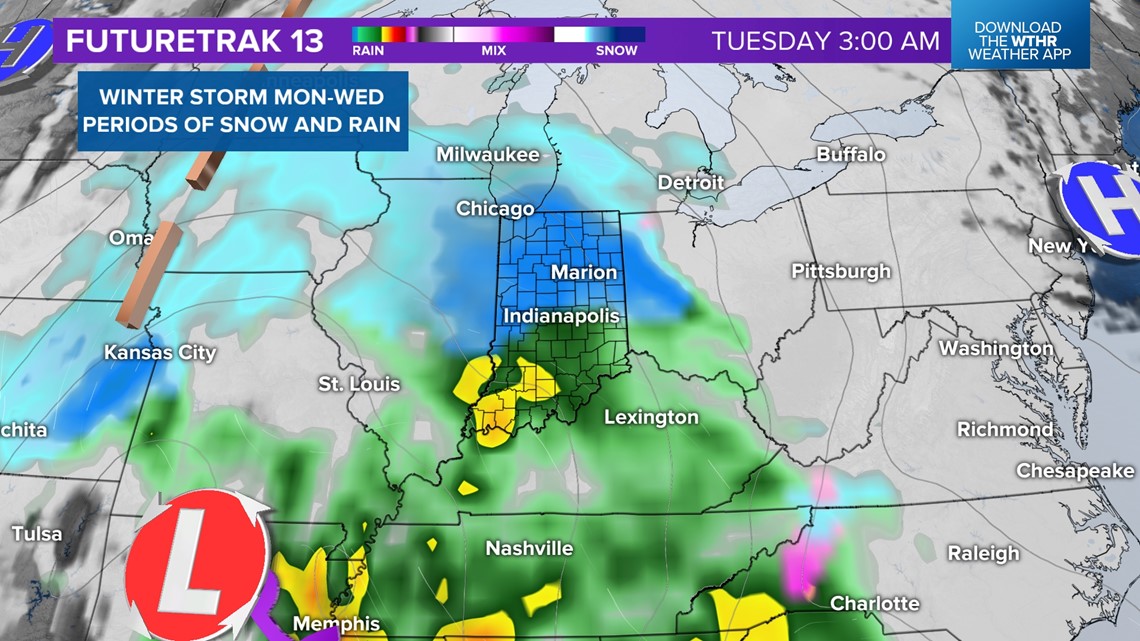
Temperatures will quickly rise above freezing Tuesday morning. Precipitation is expected to transition to rain through most of the day. Strong winds out of the southeast could gust up to 40 mph.

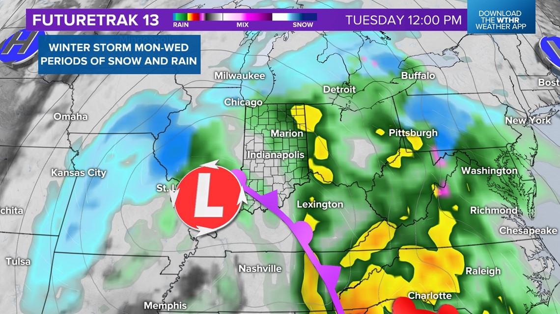
There will be a switch back to snow Tuesday night through Wednesday morning as cold air wraps around the backside of the storm system. Impacts to Wednesday's morning commute are possible.