
INDIANAPOLIS — You can easily feel the wind of change slicing through central Indiana, and it's snapping the five-day streak of 75°+ highs we had this week. That streak also included three straight days of 80°+ Sunday through Tuesday. That's now long gone.
A persistent northwesterly wind keeps temperatures in check today, with highs only in the 50s this afternoon under a mix of sun and clouds. Those numbers are actually nearly 10° below daily averages for mid-April as the temperature pendulum swings to a much cooler direction for several days, with our next chance of a 70°+ temperature not until next Tuesday.
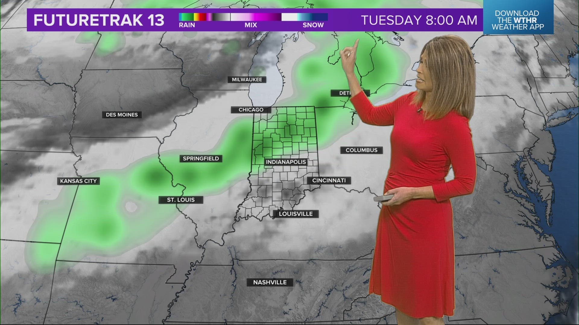
That's also our next chance of organized rainfall — though spotty showers can't be ruled out this afternoon.


This weekend will be drastically cooler compared to last, with highs in the 50s versus 70s to near 80°. But it will also include periods of a mainly sunny, deep blue sky and followed by intervals of low cloud cover that flares up during afternoon heating hours.


Overnight lows will be noticeably colder as well, with 30s/lower 40s and mid-30s around Sunday morning, when there remains a chance for areas of frost to develop. Don't be surprised to see Frost Advisories issued for Sunday and Monday mornings, which isn't totally unusual. The average date of the last frost (36°) in central Indiana is April 27, and the latest on record is May 31, 1889. It's always a good idea to avoid planting until after Mother's Day.


