
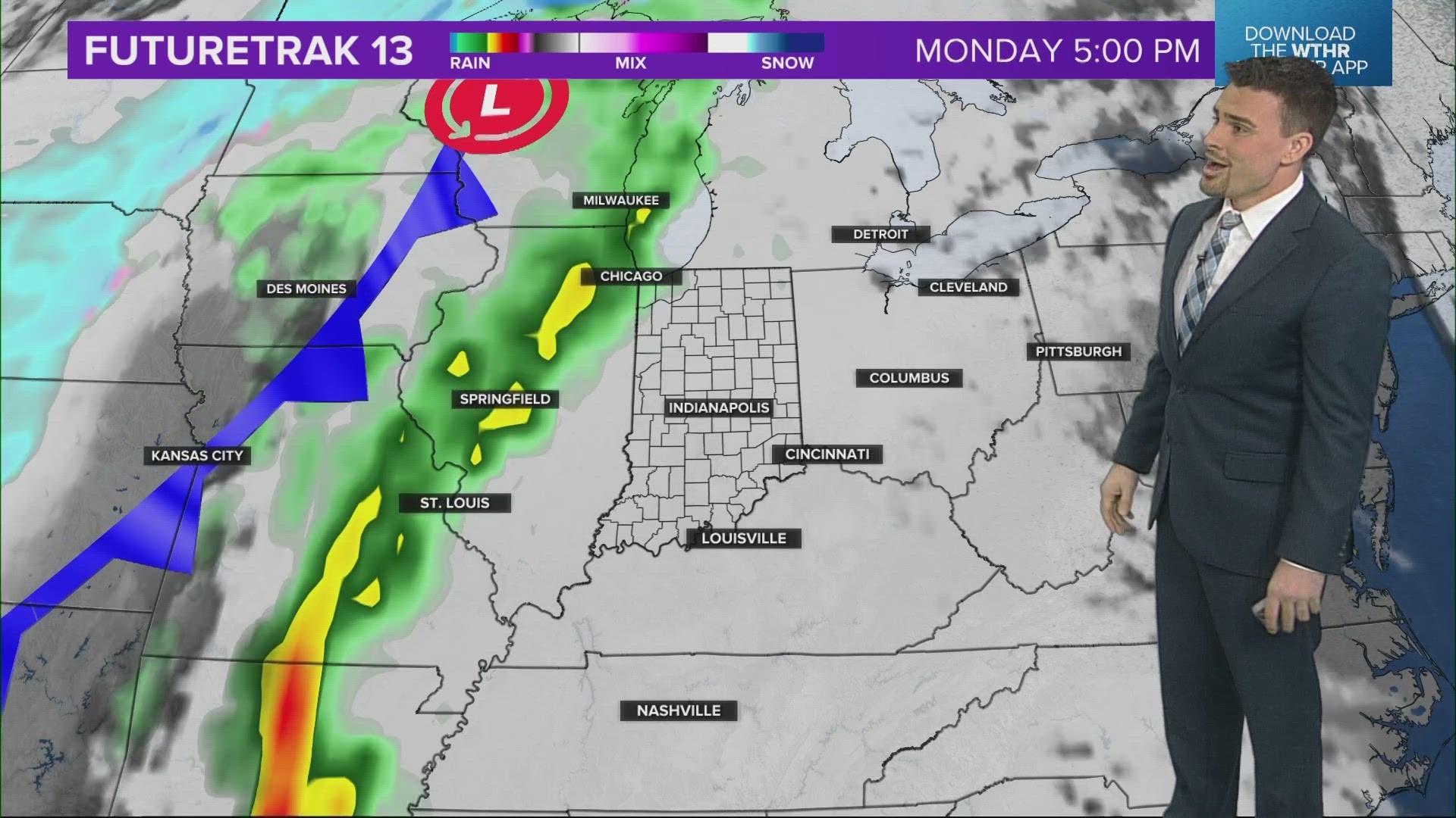
INDIANA, USA — More rain and thunderstorm chances are on the way for Indiana by Monday night. A strong cold front is moving from the West Coast and will hit by Tuesday.
Tap HERE for our interactive radar to track the incoming storm system.
In the meantime, very windy weather is moving back into Indiana (does the wind ever really stop here?). South winds are making a gradual comeback by late Sunday night. We will start the coming week with breezy south winds between 25 to 35 mph on Monday. That will help boost temperatures to the 60s for Monday's highs.
MONDAY
- Cloudy & windy
- Dry with rain chances after dark
MONDAY NIGHT
- Rain & storms (low severe risk with cooler temperatures)
- Steady in the 50s
TUESDAY
- Clouds and rain showers
- Gusty south winds turning into gusty north winds
- Steady in the 50s, then dropping quickly in the evening.

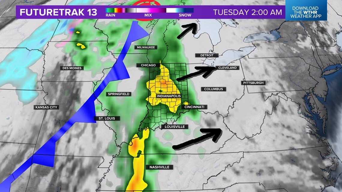
Heavy rain and some thunderstorms will arrive after midnight going into Tuesday morning. This is when we could pick up around a half inch of rainfall. This will also be the best chance for some severe weather. Gusty winds would be the primary threat. Severe risk are low however.


After the heavy rain and thunder, scattered showers are possible for the rest of Tuesday. Another quarter inch could add up, bringing totals near 0.75 inches across much of Indiana. The heaviest rain will be in southern Indiana where moisture levels should be a bit higher.
Cooler air will return on the backside by Wednesday. A quick warm up will be in the forecast as south winds recover. Expect 60s by Good Friday.