
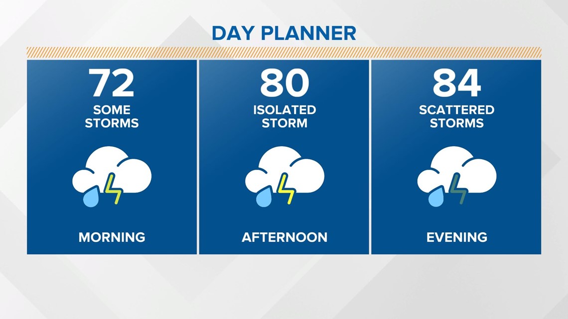
INDIANAPOLIS — A unsettled pattern will continue well into next week, with daily chances of showers and thunderstorms. While there will be many dry hours, storms will be around at times.
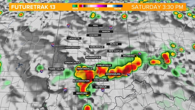
A large complex of storms moved over northern Indiana during the overnight hours. The boundary that triggered those storms will sag across central Indiana. That will bring more showers and thunderstorms today, especially later this afternoon into early Sunday morning.

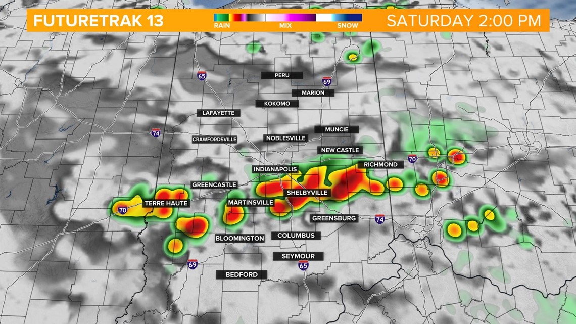


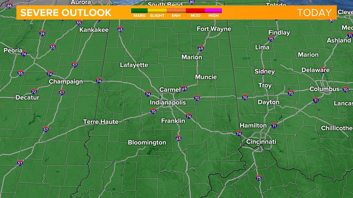
A few isolated storms could be strong to severe. Large hail and damaging winds look to be the main threats.

It will be a warm and humid day with highs in the mid 80s.

Showers and thunderstorms will continue overnight, especially in south central Indiana. Temperatures will only fall into the upper 60s and low 70s.
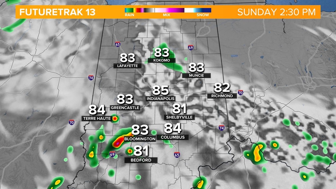
More showers and thunderstorms will be around on Sunday, mainly during the afternoon into early evening.

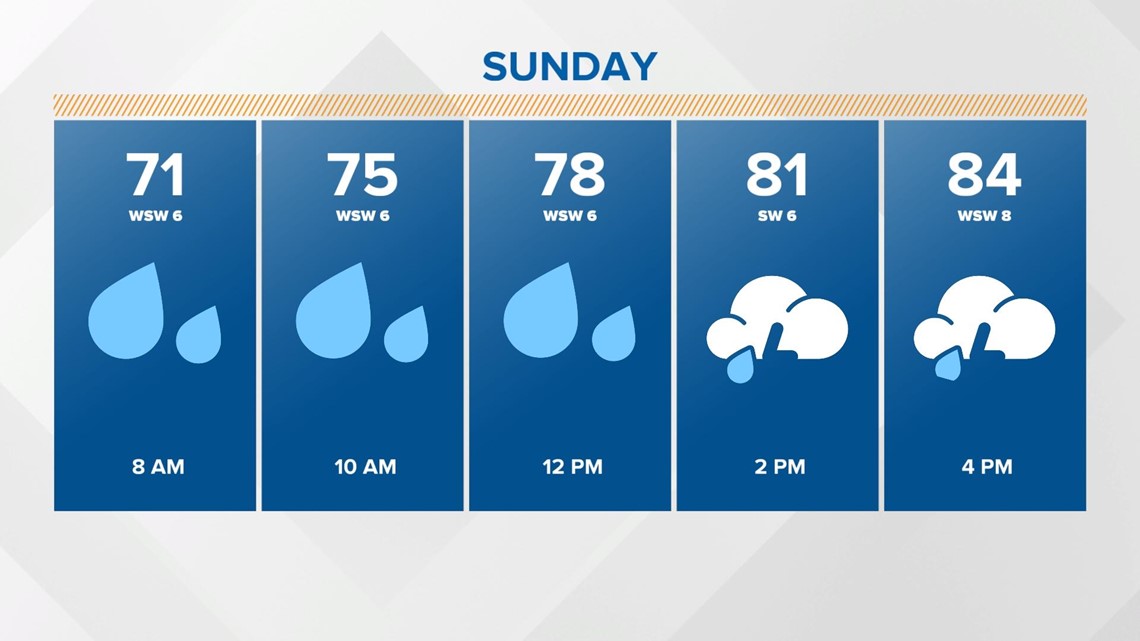
Afternoon highs will be in the mid 80s once again.

Scattered storms will be around at times on Monday. There is a low risk of severe storms in far east central Indiana. Best chance of storms will be during the afternoon into early evening.
There will still be some storms around on Tuesday and Wednesday next week but high pressure will build in by Thursday, allowing quiet and hot weather to take over.
The Saharan dust will still have impacts on central Indiana this weekend into next week.

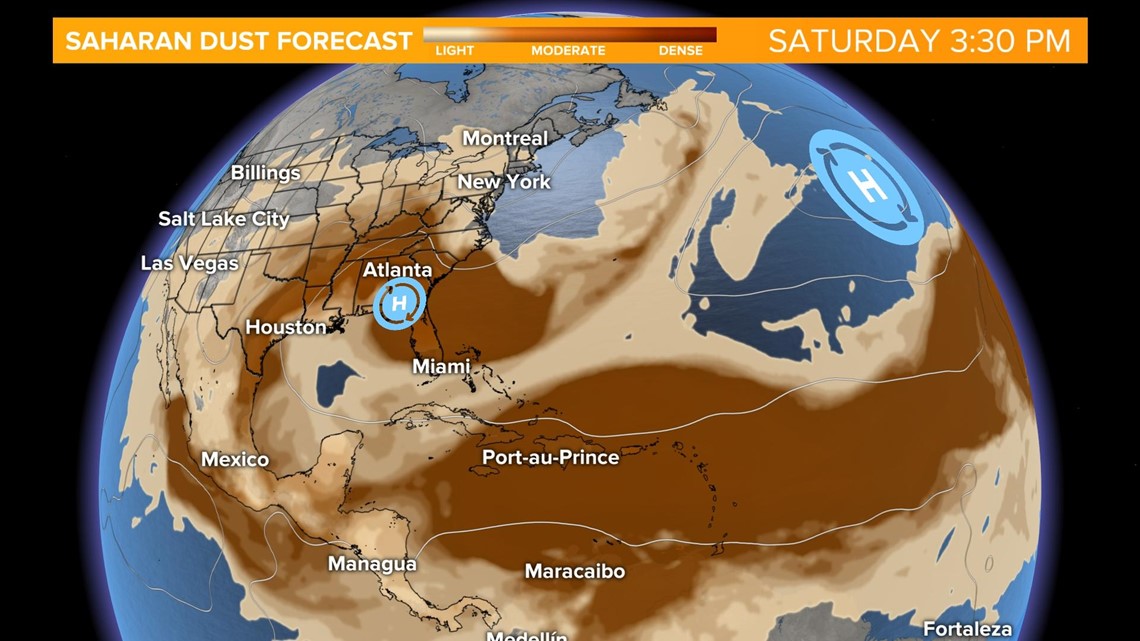

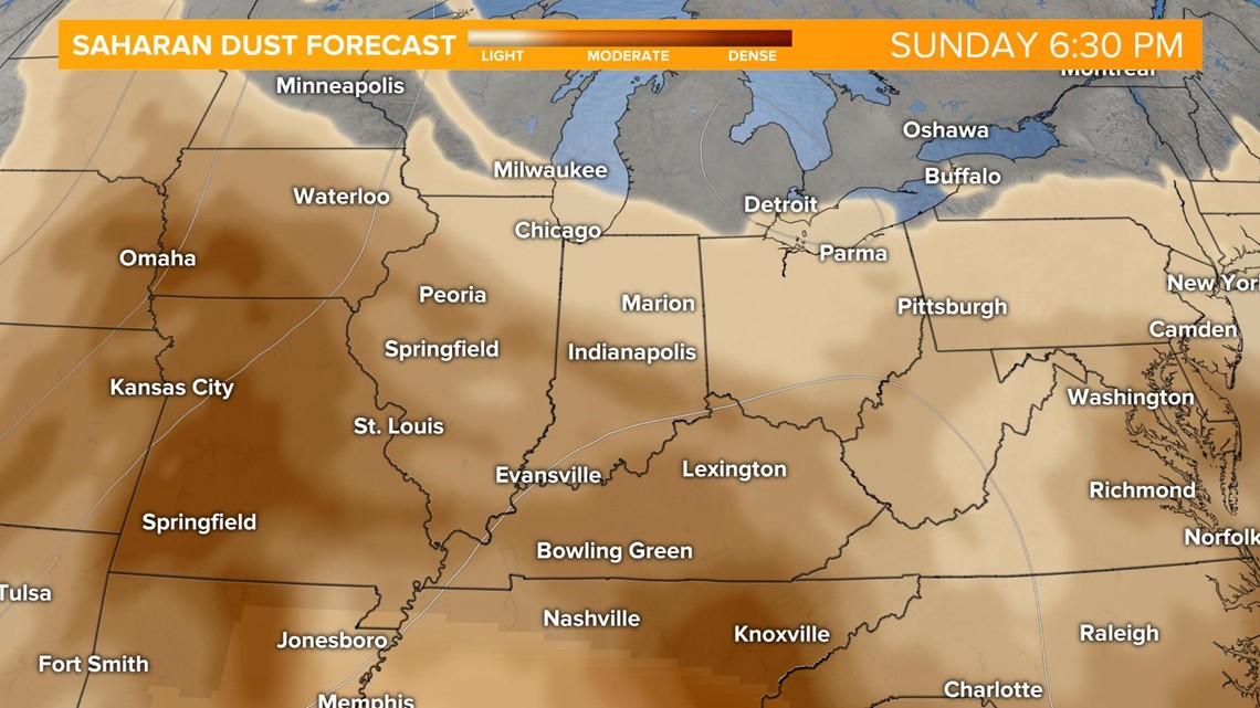
Pay attention to the sunrise and sunsets over the next several day. The dust will reflect the sun rays, bringing some spectacular views. The dust could also cause some respiratory issues for those at risk. Keep checking back for the latest.
