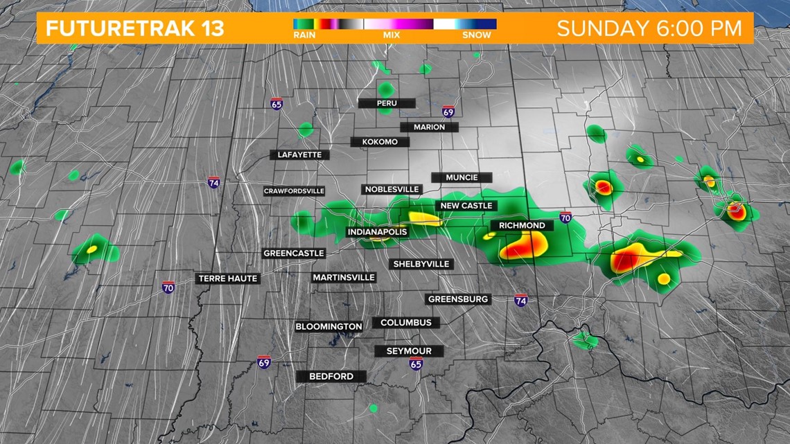
A line of storms has already developed in northern Indiana along a cold front. The line will continue to press south through the afternoon and bring scattered storms through central Indiana into the early evening.

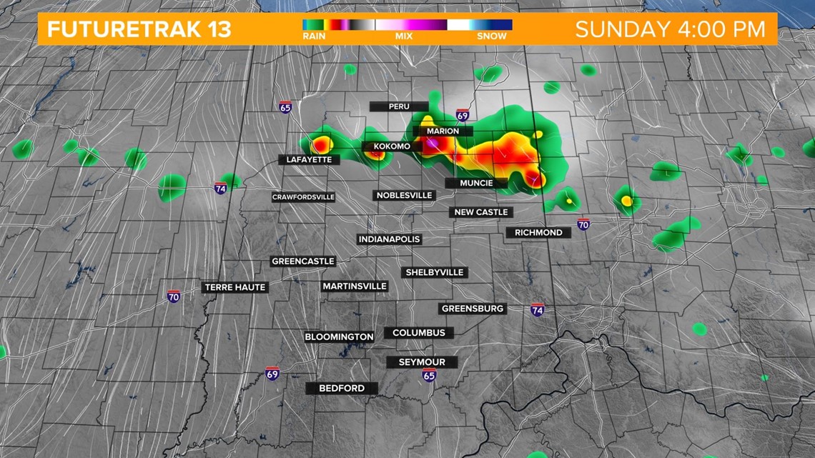

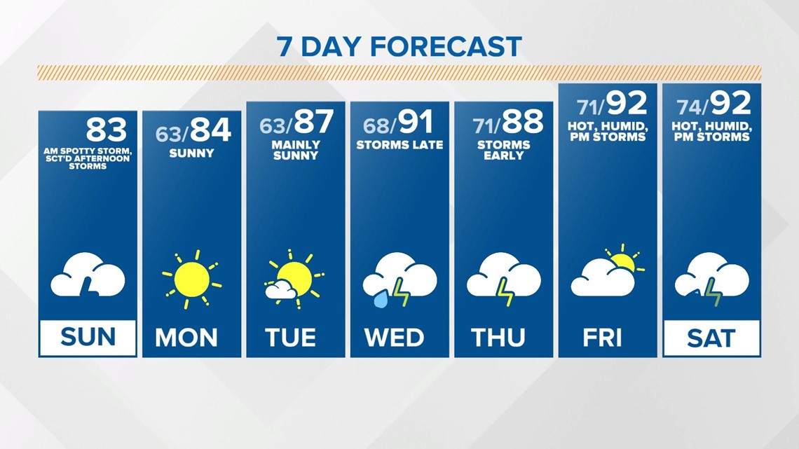
Storms are not expected to be severe but heavy rainfall, gusty winds, small hail and lightning are possible. Temperatures will not be as hot today as they were Saturday as highs reach the low 80s.


The sky will clear out behind the front late this evening and the sky will remain clear overnight. Temperatures drop to the low 60s.

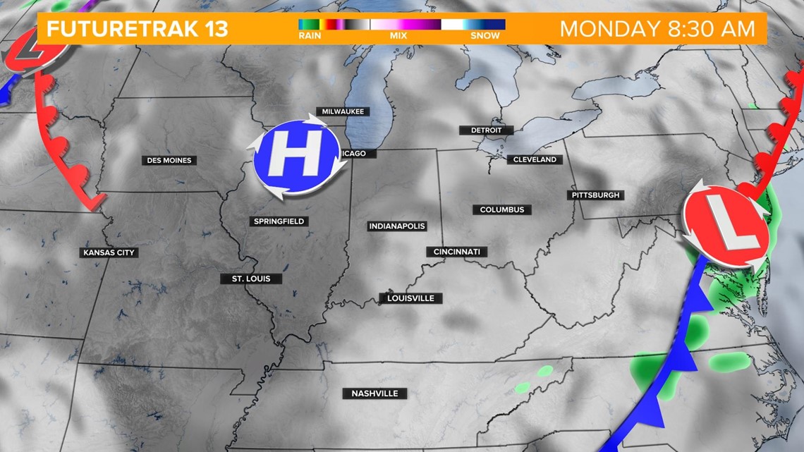
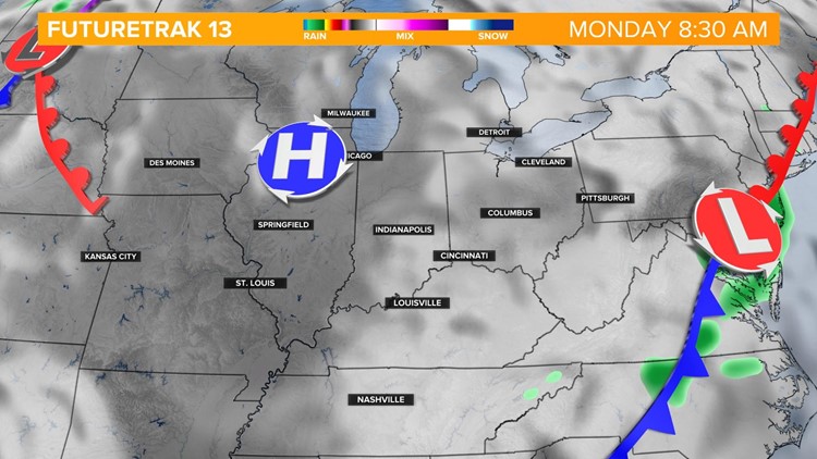
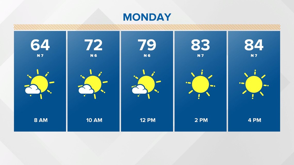
We're heading into a dry stretch starting on Monday and staying dry through Wednesday afternoon. Monday will be the coolest day of the week with highs in the mid 80s.

Scattered storms return late Wednesday into Thursday morning. We also bring the heat and humidity back with highs in the low 90s Friday into the weekend with a chance of afternoon pop-up storms.