

INDIANAPOLIS — We've been in and out of showers thus far today. We'll be monitoring Live Doppler 13 Radar closely between now and sunset for the potential of locally severe wind gusts and/or rotating storms.
The eastern-southeastern half of Indiana will be within a zone of maximized wind shear and instability, where there are greater odds of wind gusts exceeding 58 mph, and funnels/a few tornadoes are possible.

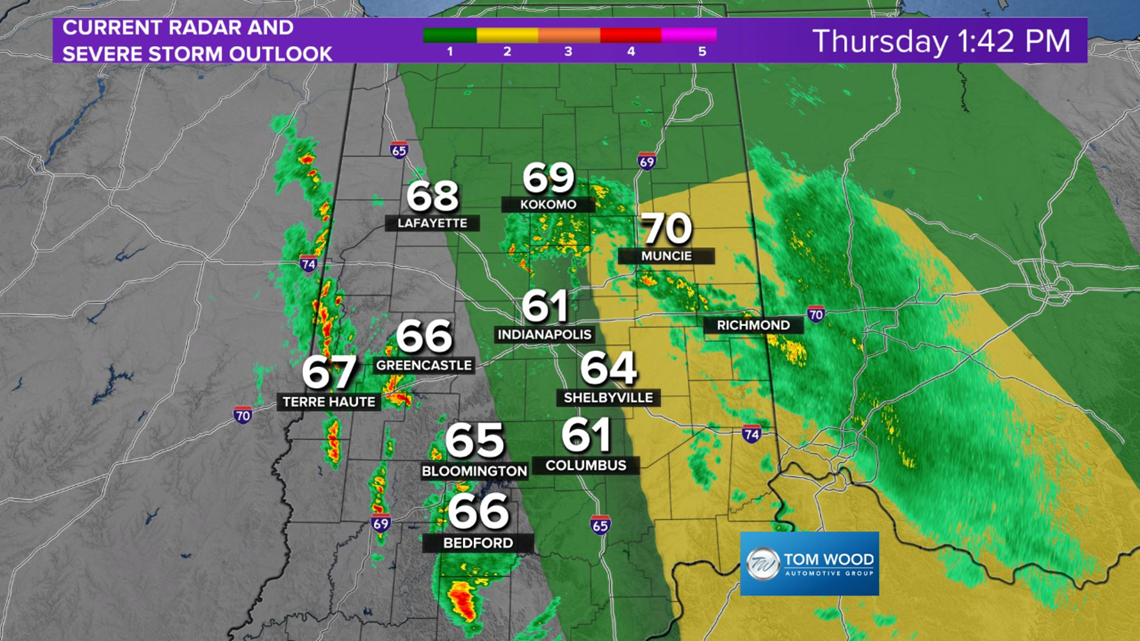

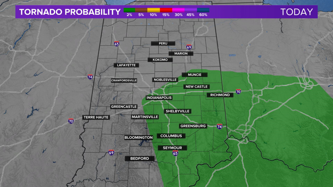

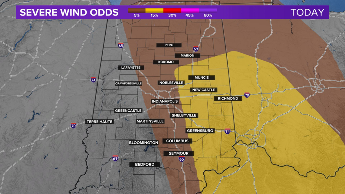
Probabilities are relatively low, but they're also non-zero. Monitor radar and have a way to get any warnings for your area if they're needed.
The atmosphere settles down near sunset and the storm axis shifts eastward rapidly by 9 p.m. After a quiet night and early Friday, we'll be monitoring the southern half of the state for supercell storm potential.
RELATED: Live Doppler 13 forecast
