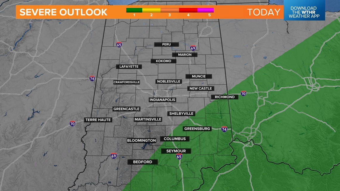
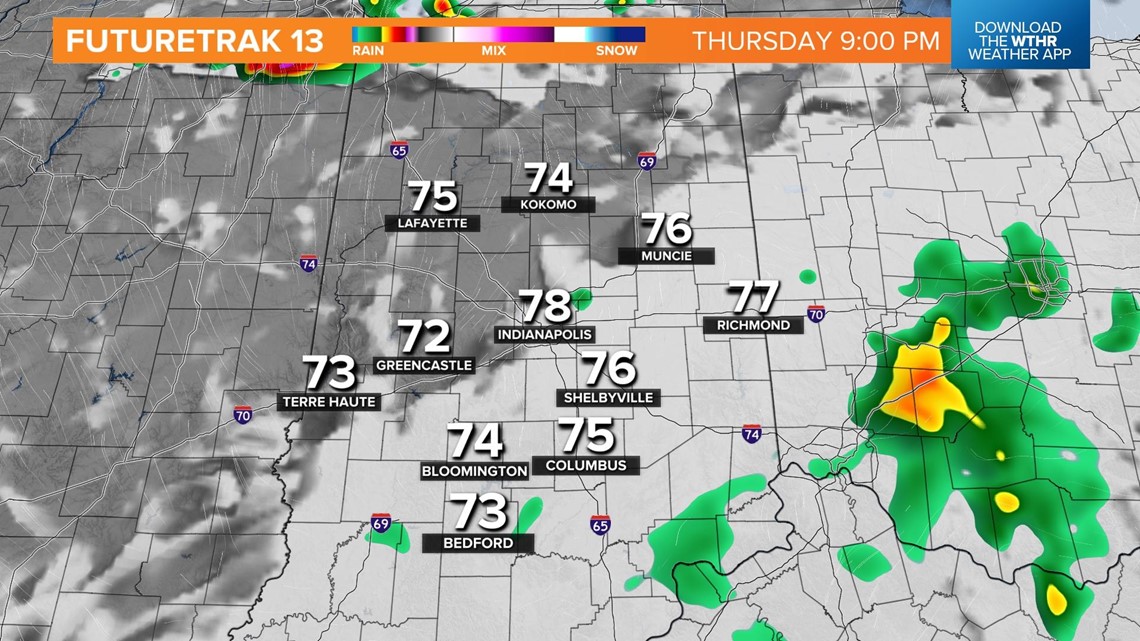
INDIANAPOLIS — A boundary has stalled through central Indiana and will continue to trigger showers and storms through the day. Some storms could be strong to severe in southeastern portions of the state with damaging wind gusts as the primary threat.

Temperatures recover into the low 80s in the early afternoon as storms develop and bring pockets of heavy rain and lightning.

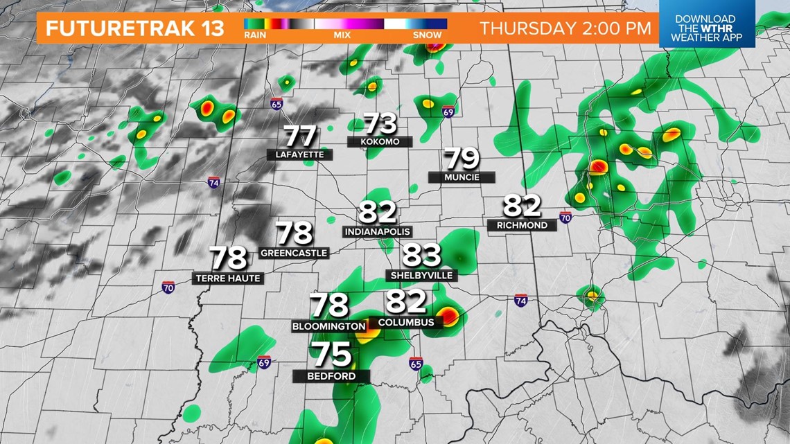
Storms will continue to linger through the evening rush hour.

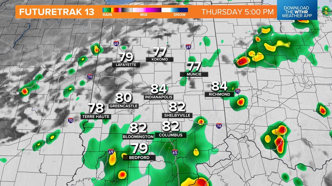
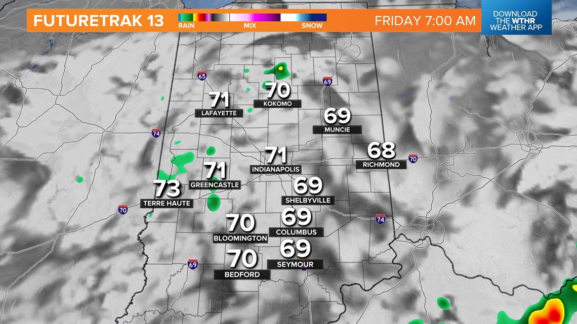
By sunset, the atmosphere will begin to lose those key components keeping the more widespread storms around, so expect more dry time. This trend continues through the overnight hours, as well.

While widespread rain and storms aren't likely through Friday morning, a few can't be ruled out. Conditions stay warm and muggy to start the day Friday with lows in the low 70s.

With the lingering boundary still stalled through the state, more storms will begin to fire up with the heat of the afternoon Friday.

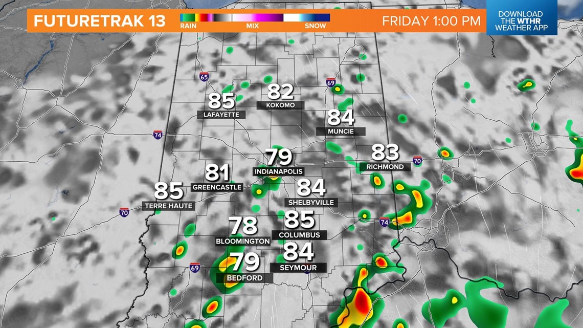
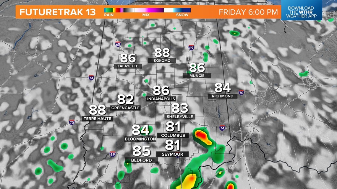
The frontal system will begin to lift northward by the evening and coverage area of the rain chances starts to diminish.

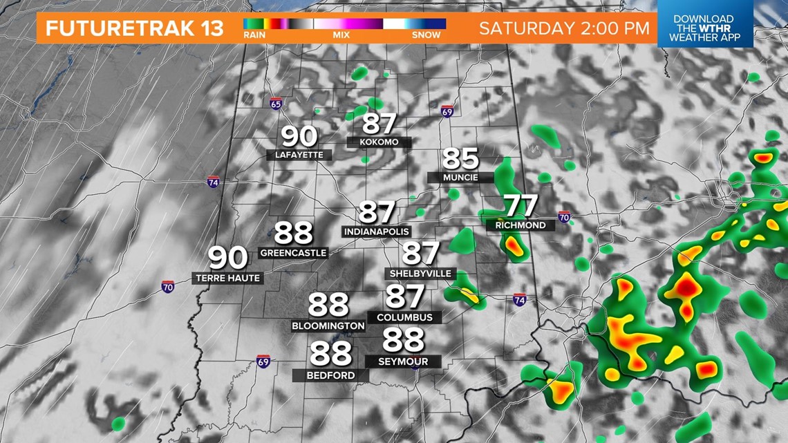
The very warm, humid air mass expected this weekend will be enough to fuel afternoon pop-up storms both Saturday and Sunday.

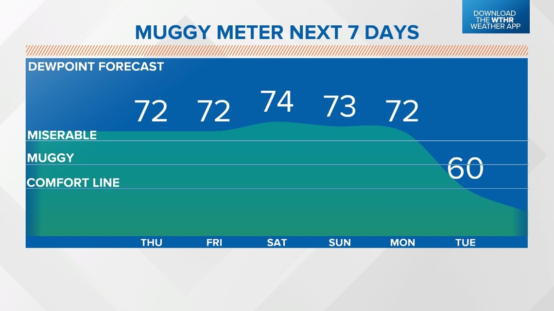
Dew points will continue to sit in the low to mid 70s through early next week, putting the muggy meter into the "miserable" category. It looks like this heat streak will finally break starting Tuesday of next week.