INDIANAPOLIS — The past 24 hours have certainly been a jolt to the system but expected if you've been following our forecast.
While the heavier lake effect hit north-northeast Indiana with power outages, some areas in central Indiana did wake to a coating of snow on elevated surfaces and grassy areas.
Coincidentally, it occurred on the 33rd anniversary of the earliest snow storm on record in Indianapolis and central Indiana, when a whopping 8-10 inches dropped between Oct. 18-20 in 1989. Click here to read more about that record-breaking event.
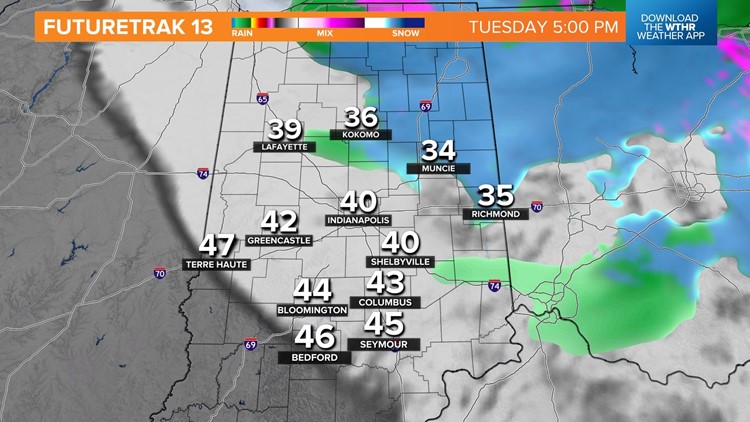
Nothing that heavy is in the forecast, but there will be additional bursts of lake effect the next 24 hours, with another coating possible in the heavier showers that drop from Lake Michigan.

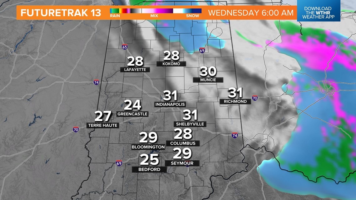
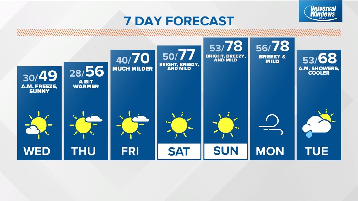
Unseasonably cold air lingers into mid-week to make it feel more like late-November versus mid-October.
If you're not a fan of the cold, be patient because the vigorous cold-core upper low bringing the chill is forecast to breakdown after Wednesday, and a renewed surge of warmth quickly arrives heading into the weekend.
While wind chills are in the 20s this morning, it will feel some 55 degrees warmer this weekend, with highs flirting with 80 degrees at times. This warmup is delivered by a stiff southwesterly wind that lingers into early next week.
The seven-day forecast certainly exemplifies weather whiplash.