

INDIANAPOLIS — The first week of July will be the hottest stretch so far this year. Yesterday, Indianapolis recorded its fourth 90-degree day of 2020.


An area of high pressure moved into the Great Lakes area last night. Here is a look at the Water Vapor Satellite. The orange is depicting the dry air.

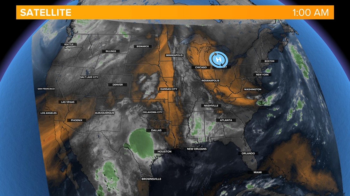
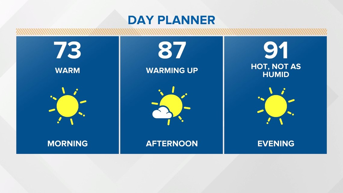
That has changed the winds to shift out of the northeast. The northeasterly breeze will allow the dew points to dry out a bit, drying into the low to mid-60s. It will not feel as oppressive today, with mostly sunny skies and highs back in the low-90s.

It will be mostly clear and near normal tonight with temperatures falling into the upper 60s.
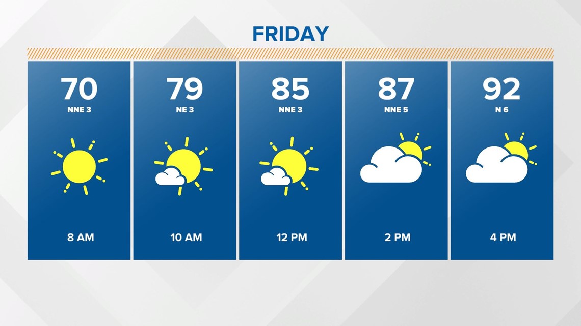
Friday will be hot and hazy. Again, the dew points will be in the mid 60s, so not as humid. However, the drier air makes it easier for the temperatures to warm up. Highs will be back into the low 90s.

The holiday weekend looks hot with humidity increasing by Sunday. An isolated afternoon storm will be possible over the weekend with highs in the low 90s.


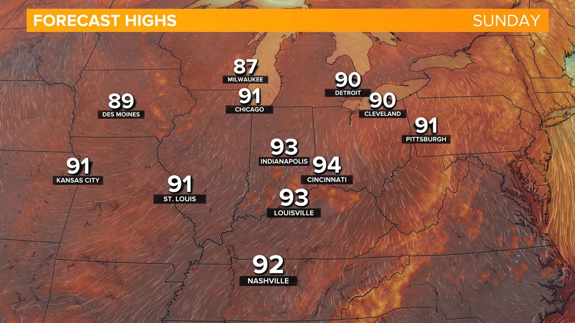
Conditions will continue to be hot with increasing humidity through mid-week. The pattern looks like it will start breaking down by late week.
