

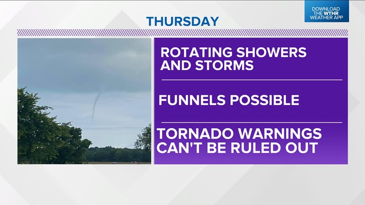
Just enough weather ingredients are coming together over central Indiana to warrant the mention that funnel clouds and/or Tornado Warnings could occur, and you should be Weather Aware.
The wind field around a stout upper level low slowly moving toward the Ohio Valley increases wind shear the next 24 hours. Despite limited heating, pockets of low-level instability become sufficient enough to cause some showers and thunderstorms to rotate and that, combined with low cloud bases, brings an increased probability of funnels Thursday afternoon.
Our expected conditions for Thursday were over south-central Kentucky on Wednesday and produced strong enough rotation for Tornado Warnings to be issued. We can't completely rule that out with central Indiana remaining on the more active side of this upper storm.
Please be Weather Aware and know that warnings might be needed. After Thursday, the main rain/storm axis with this low begins shifting into Ohio and Michigan. Though spotty showers remain possible Friday afternoon, the focus heading into the weekend will be unseasonably warm air and the potential of near-record highs, especially Sunday into Monday.
Temperatures will be 10-20° above average at least for the next seven days and possibly longer with no threat of frost. Warm highs and balmy overnight lows are plenty in the seven-day forecast.
