INDIANAPOLIS (WTHR) — There is a new tool to help those in need of food assistance find a place near them that can help.
The Indiana Family and Social Services Administration (FSSA), in partnership with the state’s food banks, the Indy Hunger Network and Feeding Indiana’s Hungry, has developed a statewide, interactive map.
There are two types of organizations shown on the map: food pantries and meal sites.
Food pantries are locations where Hoosiers can pick up groceries to prepare and use at their homes.
Meal sites serve packed meals, ready to take home and eat.
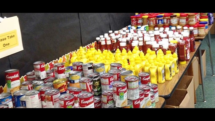
To help keep food banks operating, the Indiana National Guard has deployed to six locations across the state to help sort and pack food for distribution to food pantries.
- Marion County (2)
- Bloomington
- Lafayette
- Fort Wayne
- Merrillville
The Indiana National Guard will also work at mobile food distribution sites across the state.